
The Plaine Champagne road from Chamarel to Grand Bassin
Plaine Champagne is the high plateau above Chamarel, and its road, the B103, climbs from the village at about 260 m to a summit of about 740 m and crosses the Black River Gorges National Park towards Grand Bassin, 16.8 km from Chamarel by road. On the way are the Varangue sur Morne viewpoint, the Black River Peak trailhead, the Gorges viewpoint and Alexandra Falls. Cloud builds over the plateau as the day warms, so drive it in the morning, and expect slow traffic in the Chinese guava season from mid-April to mid-May.
Read the guide
What the Plaine Champagne road is
The Plaine Champagne road is the B103, the road that climbs east out of Chamarel onto the Plaine Champagne plateau and crosses the upper Black River Gorges National Park to Le Pétrin, where the B88 continues to Grand Bassin.
The road summit is at 740 m, against about 260 m in Chamarel village, and the plateau itself sits at about 626 m. Chamarel to Grand Bassin is 16.8 km and about 16 minutes of driving, which allows nothing for stops. Coach tours often drive it the other way, from Grand Bassin across the plateau with a stop at the Gorges viewpoint and then down into Chamarel.
The road is narrow and winding, and local traffic means frequent stops. There is no fuel station in Chamarel, so fill up in Black River or Tamarin before you set off.
The stops from Chamarel to Grand Bassin
The stops below run west to east, in the order you meet them driving up from Chamarel, with straight-line distances from the village.
Chamarel village
The road leaves Chamarel at about 260 m past the church of Sainte-Anne, which stands on the B103. The Rhumerie de Chamarel is about 600 m along the same road and runs its tours Monday to Saturday, closed on Sundays (checked on 29 October 2026).
Varangue sur Morne viewpoint
About 2.7 km east of the village, a roadside viewpoint sits beside La Varangue sur Morne, a restaurant with an open veranda over the gorges, reached by two flights of 30 steps. The restaurant has no website of its own; its phone number is +230 483 6610.
Black River Peak trailhead
About 3.7 km from the village, just after the road enters the national park, a large rock painted with a hiker marks the start of the Black River Peak trail at 682 m. The hike to the highest point of Mauritius, 828 m, is 6.25 to 7 km return, and only two or three cars fit at the start.
Gorges viewpoint
About 350 m further on, the Black River Gorges viewpoint has two free car parks, free toilets, refreshment stalls and a gentle 200 m path to a railing over the forested gorge (checked on 29 October 2026). Macaques patrol the car park, so keep food out of sight.
Alexandra Falls
About 3 km further east, a signposted turn leads to the Alexandra Falls car park, at roughly 700 m, with refreshment sellers. The viewpoint over the falls is a three-minute stroll away. The falls are given as 40 m and as about 50 m high; the 150 m figure in circulation is attached to the fall at the end of the steep loop below the platform. Macaques here steal from bags.
Le Pétrin and Grand Bassin
The B103 meets the B102 near the Pétrin information centre, start of the Macchabée trail, and the B88 Grand Bassin Road leads on to Ganga Talao, the sacred lake at 550 m with its 33 m statue of Shiva, inaugurated in 2007. Grand Bassin is 16.8 km from Chamarel by road.
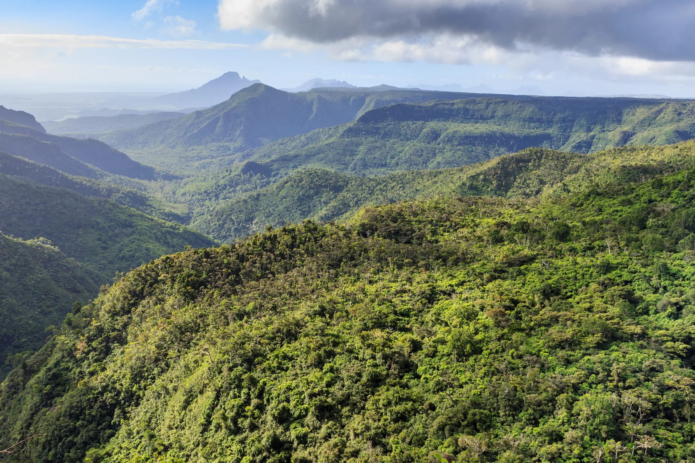
Fog and cloud on Plaine Champagne
Cloud and fog often sit on Plaine Champagne while Chamarel below stays clear. No official record says when, so drive the road in the morning.
The Mauritius Meteorological Services record about 6.0 hours of sunshine a day over high ground in summer and about 5.0 hours on the Central Plateau in winter, against 7.5 to more than 8 hours on the coast. Cloud bases over the road summit sit between about 450 and 950 m, the height of the viewpoints. Mist rises up the gorge like slow water and can hide it completely, and rain arrives quickly from the interior, which is one more reason to go up early.
The plateau is also markedly cooler than the coast. A winter day at the road summit can run from a low of 16 °C to a high of 19 °C, so bring a layer. The Black River Gorges page carries a live read of whether the viewpoints are clear.
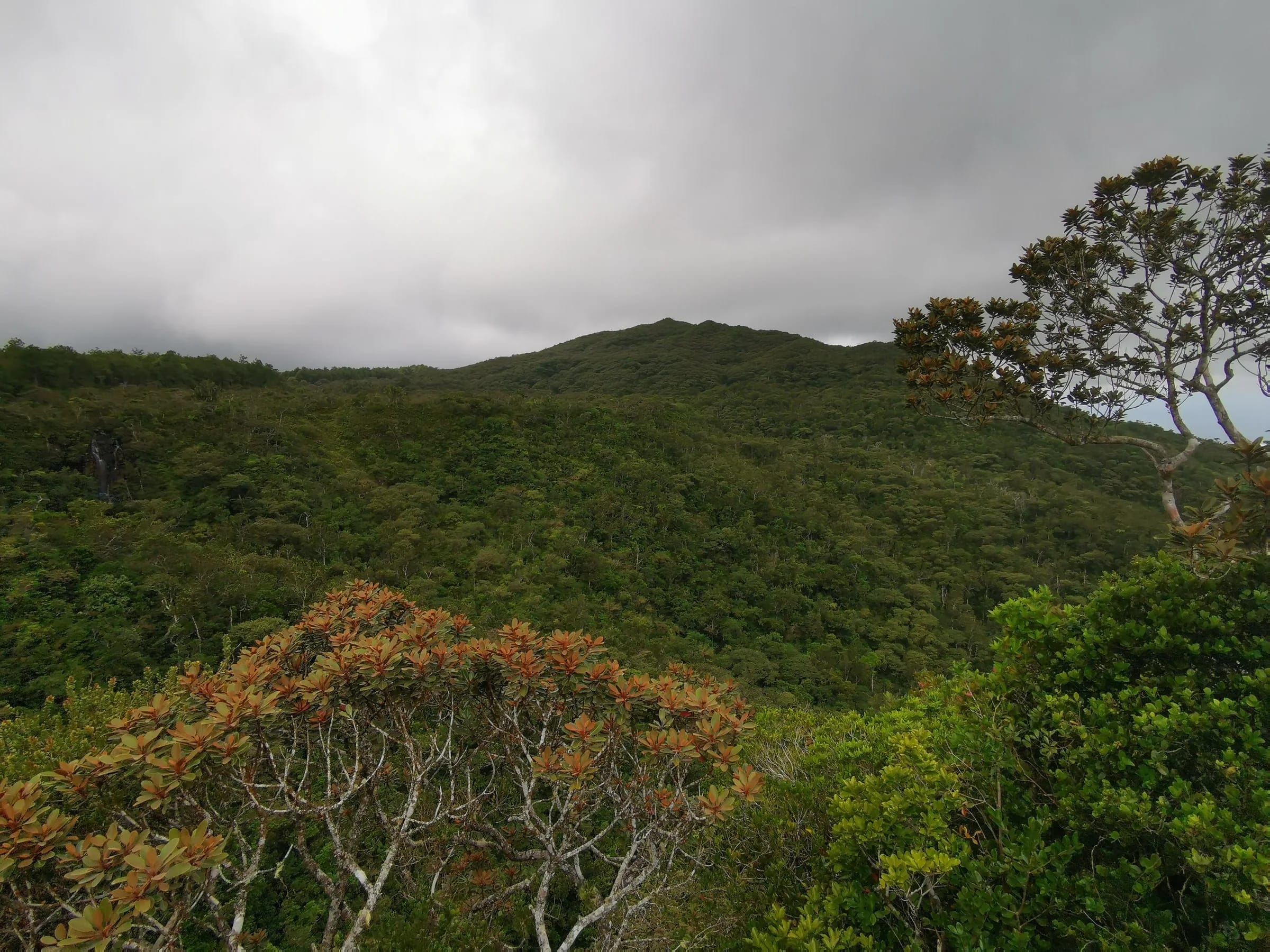
The Chinese guava season
Chinese guava ripens on Plaine Champagne in the southern autumn, and between about mid-April and mid-May so many people come up to pick it that the road fills with heavy traffic and badly parked cars.
May is picking month too, and the fruit grows in season around the Alexandra Falls car park. Chinese guava, goyave de Chine in French, is one of the introduced plants that have degraded much of the national park’s native forest. If you drive the road in that month, go early and allow extra time.
How long to allow and which way to drive
The Plaine Champagne road takes about 16 minutes of driving from Chamarel to Grand Bassin, so the stops decide how long the trip takes.
A stop at the Gorges viewpoint and the three-minute walk at Alexandra Falls add little, while Black River Peak adds 2 to 4 hours. From Chamarel, a plateau morning works well with the Gorges viewpoint first while the air is clearest, then Alexandra Falls, then Grand Bassin, keeping the coloured earth and the Rhumerie de Chamarel for the afternoon below the plateau. Coming from the centre or the east of Mauritius, drive it the other way, as coach tours do.
Questions people ask
Where is Plaine Champagne?
Plaine Champagne is the upland plateau in the south-west of Mauritius, directly above Chamarel, crossed by the B103 Plaine Champagne road between Chamarel and Le Pétrin. The road reaches about 740 m and runs through the Black River Gorges National Park, past the Gorges viewpoint and Alexandra Falls. Grand Bassin lies beyond its eastern end, 16.8 km from Chamarel by road.
How high is the Plaine Champagne road?
The Plaine Champagne road reaches about 740 m at its summit, and the plateau itself sits at about 626 m. Chamarel village below is at about 260 m, so the road climbs roughly 480 m from the village. The Black River Peak trailhead beside the road is at 682 m, and Alexandra Falls is at roughly 700 m.
Why is Plaine Champagne often foggy?
Plaine Champagne sits between about 626 m and 740 m, inside the band where cloud bases form over the plateau, while Chamarel and the coast lie below it. The Mauritius Meteorological Services record 1.5 to 2.5 fewer hours of sunshine a day over high ground than on the coast. Mist rises up the gorge as the day warms, and the plateau can sit in cloud while the village below is in sun, so go up in the morning.
How long is the drive from Chamarel to Grand Bassin?
The drive from Chamarel to Grand Bassin over the Plaine Champagne road is 16.8 km and about 16 minutes without stops. The road is narrow and winding, with local traffic and parked cars at the viewpoints, so real journeys take longer. Add the stops you choose, such as the Gorges viewpoint and the short walk at Alexandra Falls.
When is guava season on Plaine Champagne?
Chinese guava season on Plaine Champagne runs from about mid-April to mid-May, and the road fills with heavy traffic and badly parked cars while people pick. The fruit grows on an invasive shrub that has degraded the national park’s native forest. If you drive the road in that month, go early in the day.
What is there to see on the Plaine Champagne road?
The main stops on the Plaine Champagne road are the Varangue sur Morne viewpoint, the Black River Peak trailhead, the Black River Gorges viewpoint and Alexandra Falls, followed by Grand Bassin beyond Le Pétrin. The Gorges viewpoint has free parking, toilets and a 200 m path to the railing (checked on 29 October 2026), and the Alexandra Falls viewpoint is a three-minute stroll from its car park.
Explore the national park
The Black River Gorges page covers entry, gate hours, the viewpoint, the trails and a live read of the cloud on the plateau.