
South-west Mauritius, from Black River to Baie du Cap, in realistic days
South-west Mauritius is the coast and hill country between Black River and Baie du Cap, with the Chamarel plateau in the middle, and most of its sights lie 9 to 30 minutes by road from Chamarel village. The coast has Le Morne Brabant, the lagoon and the beaches of Tamarin, La Gaulette and Le Morne, and the hills have the Seven Coloured Earth, the Chamarel waterfall and the Black River Gorges. Two to four days covers it without rushing if you group the sights by area.
Read the guide
What south-west Mauritius covers
South-west Mauritius, as this guide uses the term, runs along the coast from Black River (Rivière Noire) and Tamarin through Case Noyale, La Gaulette and Le Morne to Baie du Cap, and inland over the Chamarel hill to the Plaine Champagne plateau.
Most of south-west Mauritius lies in Rivière Noire district, which covers 259 km². Chamarel itself sits mainly in Rivière Noire, with its eastern part in Savanne district, and the land rises from the lagoon at sea level to Black River Peak, the highest point in Mauritius at 828 m. A short drive therefore moves you between the warm, dry coast and the cooler, cloudier uplands.
Further east, the south of Mauritius continues past Baie du Cap through Bel Ombre towards Souillac, about 30 km and 30 minutes from Chamarel. This guide covers that coast only as far as Baie du Cap and the Maconde rock.
Drive times from Chamarel across the south-west
From Chamarel village, La Gaulette is about 9 minutes away by road, Baie du Cap 12, Grand Bassin 16, Le Morne 18, Tamarin 20 and Flic en Flac 30, by figures checked on 29 October 2026.
Black River sits between Tamarin and Case Noyale on the coast road, with no separate figure in the table. The plateau viewpoints are closer than any of these, with the Black River Gorges viewpoint about 4 km and Alexandra Falls about 7 km east of the village in a straight line. Allow more time than these figures on the hairpin roads, especially after rain.
| Destination | Distance | Drive | Why go |
|---|---|---|---|
| La Gaulette | 6.3 km | About 9 min | Boat trips to Île aux Bénitiers and the lagoon below the viewpoint |
| Baie du Cap and Maconde | 12.1 km | About 12 min | The Maconde rock and the south coast road |
| Grand Bassin | 16.8 km | About 16 min | The sacred lake of Ganga Talao over the plateau |
| Le Morne | 13.9 km | About 18 min | The mountain, the public beach and the kite lagoon |
| Tamarin | 16.3 km | About 20 min | The surf bay and the old salt pans |
| Chamouny, VALLÉ Advenature Park | 21.3 km | About 22 min | The other coloured earth, waterfalls and ziplines |
| Flic en Flac | 27.4 km | About 30 min | One of the longest public beaches in Mauritius |
| SSR airport | 42.9 km | About 40 min | Arrival and departure |
Day one, the Chamarel hill and the plateau
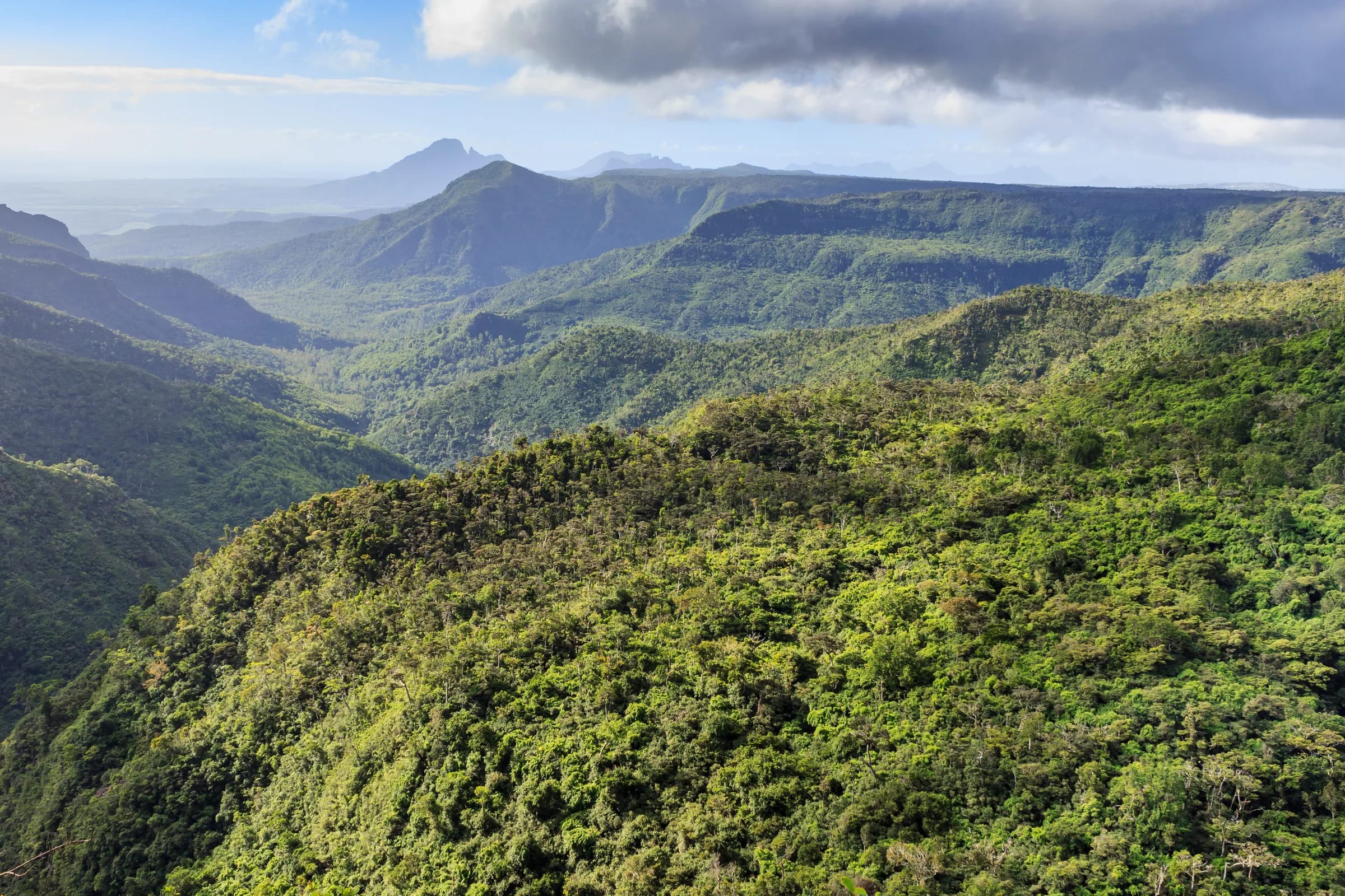
Give the first day in south-west Mauritius to the Chamarel hill and the Plaine Champagne plateau, and start early, because cloud builds over the high ground as the day goes on.
Early, the plateau viewpoints
Drive up the B103 Plaine Champagne Road to the Black River Gorges viewpoint, which is free, with a large car park and a short, gentle path, then on to the Alexandra Falls viewpoint. Grand Bassin is 16.8 km from Chamarel if you want to add the sacred lake.
08:30, the geopark
Be at the Chamarel Seven Coloured Earth Geopark when it opens at 08:30. One ticket, Rs 800 for non-resident adults and Rs 400 for children aged 5 to 11 (checked on 29 October 2026), covers the coloured earth, both waterfall viewpoints and the giant tortoises. The bare coloured ground covers only about 7,500 m², smaller than the photographs suggest, and it looks best in sunshine, so give the waterfall and the tortoises equal time.
Midday, rum or forest
Choose the Rhumerie de Chamarel, where the visit and tasting costs Rs 800 from Monday to Saturday and the distillery is closed on Sundays, or the Ebony Forest, where the Take A Hike ticket is Rs 600 for non-resident adults, the last guided walkway departure is at 16:00 and the reserve suggests arriving before 14:30. Both were checked on 29 October 2026.
Late afternoon, the Chamarel viewpoint
Stop at the roadside Chamarel viewpoint on the road down to Case Noyale for Le Morne Brabant and the lagoon below. There are no parking bays, so pull fully off the road or skip it when the verge is full.
Day two, Le Morne and the lagoon
Spend a second day on the coast around Le Morne, where the public beach, the kite lagoon and the boats to Île aux Bénitiers make an easy, slow day.
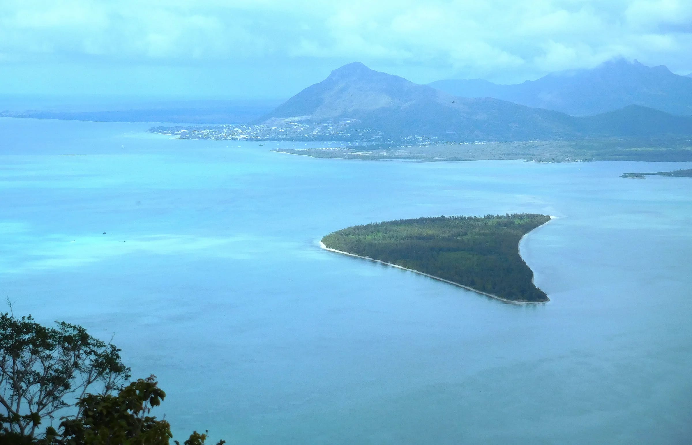
Le Morne Brabant, a 556 m basalt monolith and a UNESCO World Heritage Site since 2008, dominates this end of the coast, and its live trail status is published at mornebrabant.org/le-morne-trail-status. Le Morne public beach is the easiest swim, Kite Lagoon belongs to the kitesurfers, and La Gaulette is a base for boat trips to the islands in the lagoon, with the embarkation point for Île aux Bénitiers on the Case Noyale shore.
The underwater waterfall off the Le Morne peninsula is an optical illusion of sand and silt moving off the shelf, and it can only be seen properly from the air. Helicopter flights over it are bookable through Andeor. Private catamaran days from Black River are also bookable through Andeor.
Day three, the south coast loop by Baie du Cap
A loop from Chamarel down to Baie du Cap, west along the coast past Maconde and La Prairie to Le Morne, and back up through La Gaulette and Case Noyale links the hill and the south coast of Mauritius in one short drive. The loop runs just as well in the opposite direction.
Chamarel to Baie du Cap
Take the B104 south past the entrance of the Seven Coloured Earth and down through the hills to Baie du Cap, 12.1 km and about 12 minutes. Take the hairpins on the descent slowly.
The Maconde rock
Just west of Baie du Cap, the coast road bends between rock and ocean round the Maconde headland, a small, exposed viewpoint close to moving traffic. Park only where permitted and never stop in the carriageway.
La Prairie
Further west, La Prairie gives one of the clearest ground-level views back towards Le Morne Brabant.
Le Morne and back up the hill
From Le Morne, return north through La Gaulette and Case Noyale and climb the B104 hairpins to Chamarel, 13.9 km and about 18 minutes.
Day four, Black River, Tamarin and the gorges from below
A fourth day suits the northern end of south-west Mauritius, where Tamarin’s surf bay and the long public beach at Flic en Flac lie 20 and 30 minutes from Chamarel, with the Black River entrance to the national park in between.
Tamarin is the surf town of the west coast, with two breaks on Tamarin Bay, Dal on the south side and Black Stone on the north. The Tamarin salt pans, about 30 ha and visible from the coast road, had stopped working by 2017, and the land is being developed. Tamarin public beach is for watching the surf more than for swimming, as the beaches page of this guide explains.
Black River is the low-level gateway to the Black River Gorges National Park. Entry to the national park is free, its Black River visitor centre sits near sea level on the west side, and the Pétrin to Black River traverse descends about 800 m in up to 7 hours, so walk it downhill with a car waiting at the bottom and start before 09:00, because the gates close at 17:00.
Black River and Tamarin are also where the practical things are. No fuel station is mapped in Chamarel, Case Noyale, La Gaulette or Baie du Cap, so fill up on this stretch of coast, where there is a Shell station at Black River, with MCB cash machines and a pharmacy at La Preneuse.
When to go to south-west Mauritius
The drier months from May to November suit the hikes, the plateau and the coloured earth in south-west Mauritius, while the waterfalls run strongest from December to April, which is also the cyclone season.
The west coast of Mauritius is far drier than the uplands. Mauritius Meteorological Services normals for 1991 to 2020 give the West region about 920 mm of rain a year against 2,739 mm in the Centre, and nationally February and March are the wettest months and October the driest. High ground also gets fewer hours of sunshine than the coast, so the plateau can be grey while the beaches are bright.
Cyclone season runs roughly from November to April, with warnings possible until mid-May, and the Chamarel Seven Coloured Earth Geopark closes during cyclone warnings and very heavy rain. Mauritius keeps UTC+4 all year with no daylight saving. In an emergency, call 999 for the police (112 also works), 114 for an ambulance and 115 for the fire service.
Questions people ask
What is there to do in south-west Mauritius?
Things to do in south-west Mauritius split between the hill and the coast. On the Chamarel hill there are the Seven Coloured Earth, the Chamarel waterfall, the Rhumerie de Chamarel and the Ebony Forest, with the Black River Gorges viewpoints on the plateau above. On the coast there are Le Morne Brabant, the beaches of Le Morne, La Prairie, Tamarin and Flic en Flac, boat trips from La Gaulette and the Maconde rock at Baie du Cap.
How many days do you need for south-west Mauritius?
Two days covers the essentials of south-west Mauritius, one on the Chamarel hill and the plateau and one on the coast around Le Morne. Four days lets you add the south coast loop by Baie du Cap and a day at Black River, Tamarin or Flic en Flac. Distances are short, with most sights 9 to 30 minutes from Chamarel by road.
Is the south of Mauritius the same as the south-west?
This guide treats south-west Mauritius as the coast from Black River to Baie du Cap and the Chamarel hill above it. The south of Mauritius continues east from Baie du Cap through Bel Ombre towards Souillac, about 30 km and 30 minutes from Chamarel. The two meet at Baie du Cap, and this guide covers the south coast only as far as the Maconde rock.
Do you need a car in south-west Mauritius?
A car or a taxi is the practical way to see south-west Mauritius. Buses do run, with route 5 linking Quatre Bornes and Baie du Cap through Rivière Noire and Le Morne and route 5A climbing from Baie du Cap to Chamarel, but the 5A has no published timetable and rural buses stop around 18:30. Taxis have no fixed tariff, so agree the fare before you set off.
Where can I get fuel near Chamarel?
No fuel station is mapped in Chamarel, Case Noyale, La Gaulette or Baie du Cap, so fill up on the west coast before you drive up the hill. There is a Shell station at Black River, and further stations at Rivière Noire and Tamarin. The roads up to Chamarel are short but steep, so set off with a reasonable tank.
When is the best time to visit south-west Mauritius?
May to November is the best time for most of south-west Mauritius, because it is the drier season for the hikes, the plateau views and the coloured earth. The waterfalls run strongest from December to April, which is also the cyclone season, with warnings possible until mid-May. The west coast stays much drier than the uplands all year, and October is the driest month nationally.
Start with the hill
The Chamarel page sets out every sight on the hill and the plateau, what each one is worth and how they fit into a day.