
Black River Gorges hiking and the trails around Chamarel
Black River Gorges hiking near Chamarel runs from a 200 m stroll at the Gorges viewpoint to the 8.9 to 10 km Macchabée trail, and every trail in the national park is free (checked on 29 October 2026). The best-known routes are Black River Peak, the highest summit in Mauritius, Macchabée, Parakeet, Piton Canot, climbed through Ebony Forest for Rs 600 per non-resident adult, and the short walks off the Plaine Champagne road. Distances vary with the version walked, so this page gives the range for each and grades every route honestly.
Read the guide
Black River Gorges hiking, graded trail by trail
Black River Gorges hiking around Chamarel runs from easy viewpoint strolls to a long one-way descent through the national park, and the table grades each route from its distance, climb and terrain.
The grades are this guide’s own, not an official scale. Easy means a short walk on a clear path. Moderate means a few hours with mud, roots or a short steep section. Hard means a long day, a sustained climb or ground where a slip could have serious consequences.
| Hike | Start | Distance | Time | Grade |
|---|---|---|---|---|
| Gorges viewpoint path | Gorges viewpoint, B103 | About 200 m | A short stroll | Easy |
| Trochetia trail | North end of the Gorges viewpoint | 1.8 km one way | About 30 min one way | Easy |
| Alexandra Falls viewpoint | Car park on the B103 | About 240 m | About 3 min | Easy |
| Alexandra Falls loop | Same car park | 2.75 km loop | About 1 h 10 | Hard, steep and rocky |
| Piton Canot via Ebony Forest | Ebony Forest, Chamarel | 400 m summit spur, 2.3 to 6.1 km in all | 1 to 4 h in all | Moderate, short and steep |
| Black River Peak | B103, 350 m west of the Gorges viewpoint | 6.25 to 7 km return | 2 to 4 h | Moderate, muddy, roped finish |
| Macchabée | Pétrin information centre | 8.9 to 10 km one way | 2 to 3 h, up to 7 h for the full descent | Easy track, hard full descent |
| Parakeet | Black River visitor centre or the B103 | 6.5 to 8 km one way | 1.5 to 2 h one way | Moderate to hard |
| Chamarel Waterfall descent | Geopark car park, guided | Not published | About 3 h guided | Guided only |
The Macchabée trail, and why its distance varies
The Macchabée trail, also spelt Machabée or Macchabee, runs from the Pétrin information centre on the plateau through native forest to the Macchabée viewpoint and down to the Black River visitor centre near the west coast, and its length is given as 8.9 to 10 km one way because there are several versions of the walk.
The walk measures 8.9 km one way, from 652 m down to 110 m, in 1.5 to 2.5 hours, on a dirt road from Pétrin to the viewpoint and a steep footpath beyond it, with several river crossings. The round figure of 10 km makes it the longest free route in the park, an easy 2 to 3 hours on the track, while the full Pétrin to Black River traverse is about 800 m of descent and up to 7 hours, walked downhill only. Shorter versions exist too, such as an 8.6 km out-and-back to the viewpoint with about 156 m of climbing.
In practice there are two walks. The out-and-back on the forest track from Le Pétrin to the Macchabée viewpoint, at 583 m, is the easy half and brings you back to your car. The full descent to the Black River visitor centre needs a car or driver at the bottom, a start before 09:00 to be out before the gates can close at 17:00 (checked on 29 October 2026), and care on the steep footpath below the viewpoint. Variants via Colophanes, with better views, and the short, steep Pilgrim trail branch off on the way.
The Parakeet trail between the coast and the plateau
The Parakeet trail links the Black River visitor centre near the west coast with the Plaine Champagne road near the Gorges viewpoint, 6.5 to 8 km one way, and walked uphill it climbs about 600 m.
The trail measures 6.6 km one way between 132 m and 741 m, in 1.5 to 2 hours, mostly under the canopy, with a sustained climb and a river crossing on slippery rocks, and it is moderately difficult. Rounded figures of 6.5 km and 8 km are also in circulation, as is a time of 7 hours 30 graded hard, with no indication of whether that is one way or return. At the top, park at the marked entrance on the Plaine Champagne road.
Like Macchabée, the Parakeet trail works best one way with a car at the other end, and the river crossing needs care after rain.
Short walks from the Plaine Champagne road
The easiest walks near Chamarel start from car parks on the Plaine Champagne road (B103), at the Gorges viewpoint and at Alexandra Falls, and the two viewpoint paths take only minutes.
At the Gorges viewpoint a gentle path of about 200 m leads to the railing. The Trochetia trail leaves from the northern end of the viewpoint and runs 1.8 km one way in about 30 minutes, between about 654 and 707 m, crossing the stream that feeds the waterfall seen from the platform. It has only one sign, so note where you joined it.
At Alexandra Falls, about 3 km further east, the viewpoint is about 240 m and a three-minute stroll from the car park. A 2.75 km loop continues to the top of the falls in about 1 hour 10 with 125 m of climbing. The path becomes very steep, narrow and strewn with large rocks, the last 30 m are very steep with handrails, and a fall would be fatal. Treat the loop as a hard walk for sure-footed hikers in dry weather only.
Piton Canot through Ebony Forest
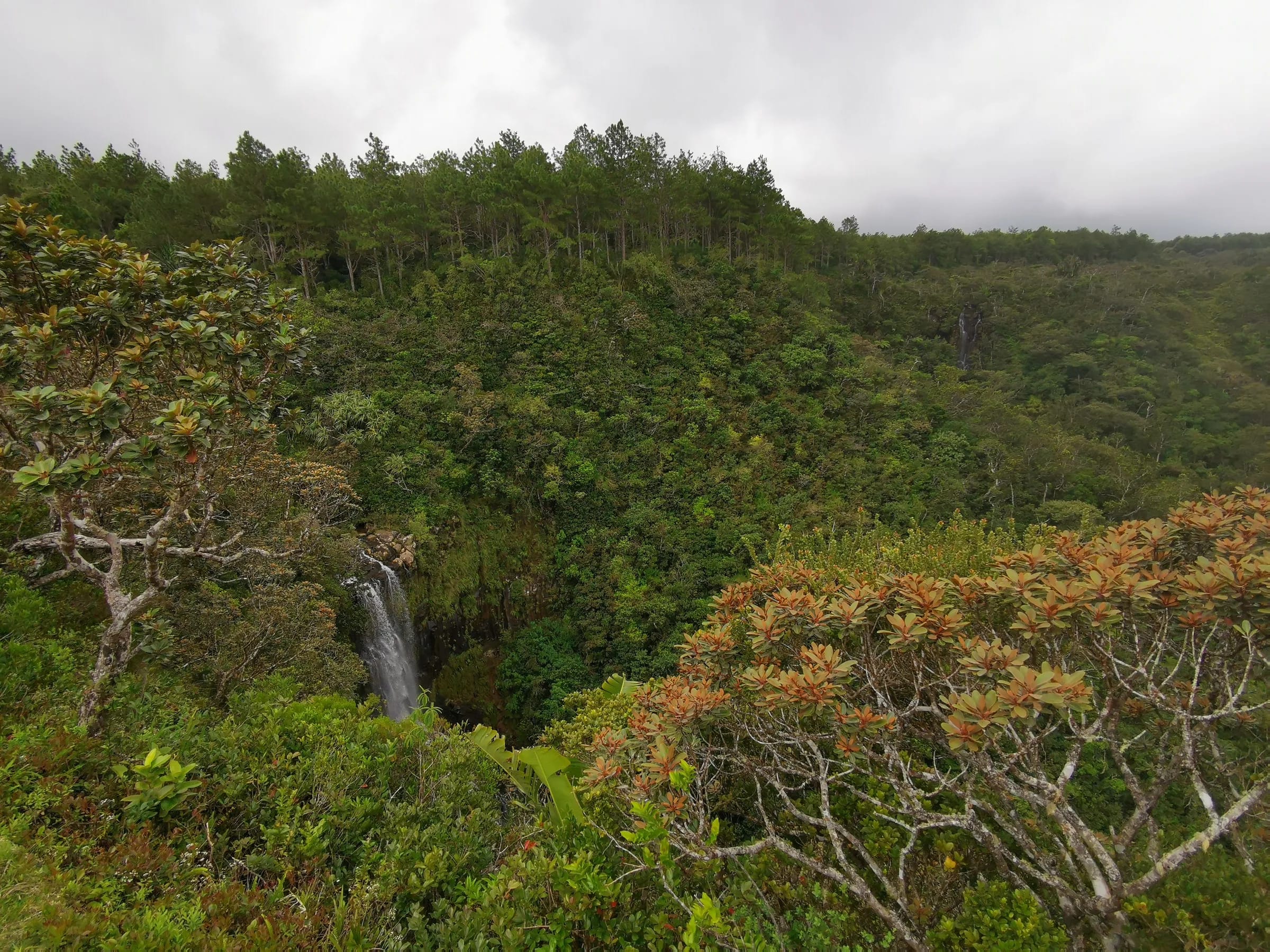
Piton Canot, a summit of about 540 m above Chamarel, is climbed most simply through Ebony Forest, whose Take A Hike ticket costs Rs 600 for non-resident adults and Rs 370 for ages 5 to 17 (checked on 29 October 2026).
From the Ebony Forest welcome centre, a 1.3 km access trail and the 1.1 km Ridgeline trail lead to Sublime Point, and the Piton Canot spur climbs 140 m in 400 m to a 542 m summit. The spur is slippery when wet, and on 29 October 2026 Ebony Forest listed its last departure at 16:00 and closing at 17:00, with arrival before 14:30 recommended. Resident adults pay Rs 400, children under 5 are free and booking is not required. Ebony Forest grades its self-guided hikes easy, at 1 to 4 hours and 2.3 to 6.1 km in all, but the summit spur is short and steep, so this guide grades it moderate.
The summit height is recorded as 526 m and as 542 m. There is also an approach from the Le Chamarel restaurant, 2.6 km return in 1 to 2 hours, with rocky steps, some frayed ropes and a path past fenced private property. The line past the fenced private property is not an established route; use the marked trails through Ebony Forest.
Black River Peak and the guided waterfall descent
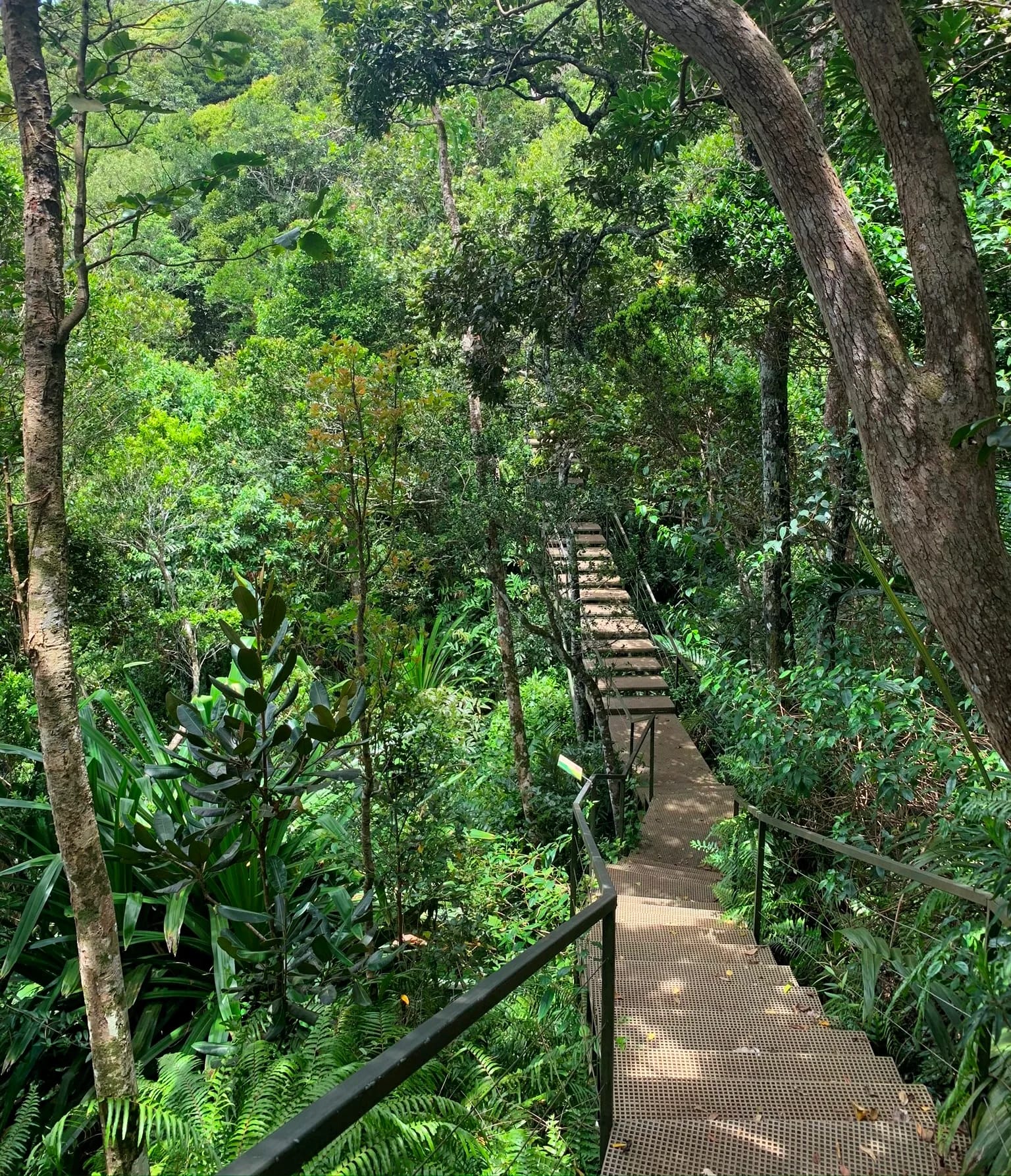
The two hikes visitors ask about most are Black River Peak, the highest point of Mauritius at 828 m, and the descent to the base of Chamarel Waterfall, which is guided only.
Black River Peak starts at 682 m on the Plaine Champagne road, about 350 m west of the Gorges viewpoint, and is 6.25 to 7 km return in 2 to 4 hours. Mud, roots and a roped final scramble make it a moderate hike, and its own page walks the route stage by stage.
The base of Chamarel Waterfall is closed to independent walkers. The Chamarel 7 Coloured Earth Geopark’s ticket covers only the two viewpoints, and its FAQ says going down the waterfall on your own is strictly prohibited (checked on 29 October 2026). The descent is sold as a guided outing of about 3 hours that meets at the geopark car park, on a slippery forest path suited to experienced hikers. The pool at the bottom is open for a swim in some accounts and off limits in others, and the waterfall hike page covers it.
Safety, weather, water and monkeys
The main risks of hiking in Mauritius on these south-west uplands are slips on mud and wet rock, sudden rain, late finishes and the steep sections of a few routes, so plan around the season and the daylight.
In an emergency call the police on 999 (112 also works), the SAMU ambulance on 114 or the fire service on 115. Before any longer walk, tell someone your route and the time you expect to be back.
- Season. The best months are May to November, or April to October at the widest, and paths turn slippery after rain. The uplands are far wetter than the coast, with a long-term mean of 2,739 mm a year for the Centre region against 920 mm for the West.
- Daylight. Start before 09:00. Park gates close as early as 17:00 (checked on 29 October 2026), and sunset falls between about 17:38 in June and 18:55 in January.
- Water. Carry all you need. There is no drinking water on these routes, and the last stretch of Black River Peak is in full sun.
- Monkeys. Long-tailed macaques wait at the Gorges viewpoint and Alexandra Falls car parks and on the Black River Peak path. Do not feed them, and keep food packed away.
- Navigation. Signage is sparse in places and mobile signal is patchy on deeper trails, so load an offline map and the route before you set off.
- Cyclones. Cyclone season runs roughly November to April, with warnings possible until mid May. Do not set out on a trail during a warning.
Questions people ask
Which Black River Gorges hike is best for a first visit?
For a first visit, the Macchabée trail from Le Pétrin to the Macchabée viewpoint and back is the gentlest long walk in the Black River Gorges, on an easy forest track. For a summit, Black River Peak is moderate, 6.25 to 7 km return from the Plaine Champagne road. For a short outing, the Gorges viewpoint path and the Trochetia trail take minutes rather than hours.
How long is the Macchabée trail?
The Macchabée trail is 8.9 to 10 km one way from the Pétrin information centre to the Black River visitor centre, and takes 2 to 3 hours on the track or up to 7 hours for the full descent. Walked as an out-and-back from Le Pétrin to the Macchabée viewpoint, the route measures about 8.6 km with about 156 m of climbing.
Do you need a guide to hike in the Black River Gorges?
No guide or permit is needed to hike in the Black River Gorges National Park, and the trails are free (checked on 29 October 2026). Signage is sparse in places and mobile signal is patchy on deeper trails, so carry an offline map. A local guide is sensible for beginners, after rain or on one-way routes. The only hike near Chamarel that must be guided is the descent to the base of Chamarel Waterfall.
Is hiking around Chamarel safe?
Hiking around Chamarel carries the usual risks of forest trails, mainly slips on mud, roots and wet rock, sudden rain and late finishes. The Alexandra Falls loop to the top of the falls is steep enough that a fall would be fatal, and park gates close as early as 17:00 (checked on 29 October 2026). Carry water and a charged phone, and call 999 or 112 for the police and 114 for an ambulance.
When is the best time to hike near Chamarel?
The best time to hike near Chamarel is the drier season from May to November, when paths are less muddy and showers less frequent, ideally starting before 09:00. From December to April the plateau is wet and the trails slippery, and cyclone warnings are possible from roughly November until mid May, so check the forecast the evening before.
Are there monkeys on the trails near Chamarel?
Long-tailed macaques are common at the Gorges viewpoint and Alexandra Falls car parks and are also met on the Black River Peak path. The macaques are an introduced species and steal food from hikers. Do not feed them, keep food in a closed bag and keep children close when a group is nearby.
Can you hike to the bottom of Chamarel Waterfall?
Hikers can reach the base of Chamarel Waterfall only on a guided outing. The Chamarel 7 Coloured Earth Geopark says going down the waterfall on your own is strictly prohibited, and its ticket covers only the two viewpoints (checked on 29 October 2026). Guided descents of about 3 hours meet at the geopark car park and follow a slippery forest path.
Climb the highest point
Black River Peak starts on the plateau road above Chamarel, and its own page walks the route stage by stage.